Best Islands in Hawaii, Ranked
Hawaii isn't one island—it's an archipelago of eight main islands plus a scattering of famous islets, atolls, and military outposts, each with a wildly different personality, from luxury resorts to forbidden villages to WWII battlefields frozen in time. Ranking them sparks real debate: does untouched wilderness beat convenience, does raw history outweigh postcard beaches? Cast your vote for which
What counts: Ranked by overall visitor appeal—natural beauty, accessibility, cultural/historical weight, and beach quality. All land area, visitor, and elevation figures are approximate, rounded estimates; restricted, uninhabited, or data-scarce islands show null where reliable numbers don't exist.
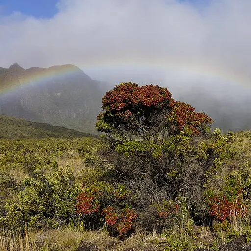
Maui built its reputation on the Road to Hana's 600 hairpin turns and Haleakala's otherworldly sunrise above the clouds, a ritual so beloved it now requires timed reservations. From Ka'anapali's golden sand to Molokini's turquoise crater just offshore, it delivers volcano, rainfo
Overall Appeal (0-10, higher better): 9.3/10Land Area (higher = more to explore): 727 sq miAnnual Visitors (higher = busier): 2.5 MBeach Quality (0-10, higher better): 9.5/10Open to General Public: ✓Highest Elevation (higher = more terrain: 10,023 ftSignature Site: Road to Hana & Haleakala sunrise
added by Yourlist Editorialin 3 rankingsMaui
0Kauai
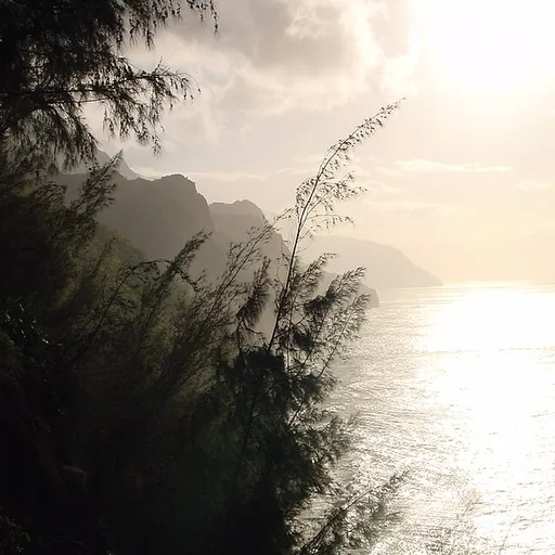
Nicknamed the Garden Isle, Kauai's Na Pali Coast cliffs—reachable only by boat, helicopter, or the grueling Kalalau Trail—have starred in Jurassic Park and a dozen other films for good reason. A county height law keeps development low, so it feels untamed compared to its siblings
Overall Appeal (0-10, higher better): 9.1/10Land Area (higher = more to explore): 552 sq miAnnual Visitors (higher = busier): 1.2 MBeach Quality (0-10, higher better): 9/10Open to General Public: ✓Highest Elevation (higher = more terrain: 5,243 ftSignature Site: Na Pali Coast
added by Yourlist Editorialin 2 rankings
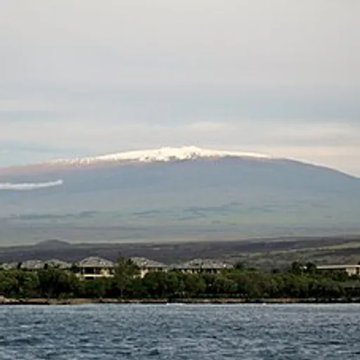
0Bigger than all the other islands combined, the Big Island is the only place on Earth where an active volcano has repeatedly added new coastline to the map in real time, courtesy of Kilauea. It stacks nearly a dozen of the world's climate zones onto one landmass, from snow-capped
Overall Appeal (0-10, higher better): 9/10Land Area (higher = more to explore): 4,028 sq miAnnual Visitors (higher = busier): 1.7 MBeach Quality (0-10, higher better): 8/10Open to General Public: ✓Highest Elevation (higher = more terrain: 13,803 ftSignature Site: Kilauea / Hawai'i Volcanoes National Park
added by Yourlist EditorialBig Island
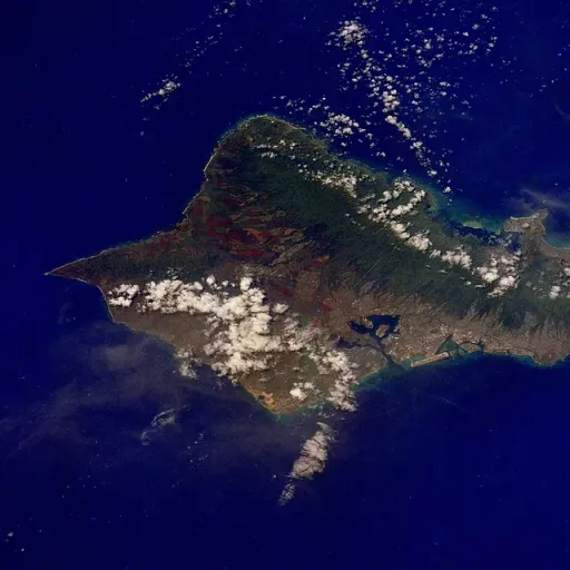
0Oahu is where modern Hawaii was forged—Waikiki's surf culture, Pearl Harbor's sobering history, and the North Shore's giant winter waves that built professional surfing all happened here. It absorbs the majority of the state's visitors and nearly a million residents, giving it an
Overall Appeal (0-10, higher better): 8.7/10Land Area (higher = more to explore): 597 sq miAnnual Visitors (higher = busier): 5.5 MBeach Quality (0-10, higher better): 9.2/10Open to General Public: ✓Highest Elevation (higher = more terrain: 4,003 ftSignature Site: Waikiki Beach & Pearl Harbor
added by Yourlist Editorialin 2 rankingsOʻahu
0Once almost entirely a pineapple plantation, Lanai reinvented itself after tech billionaire Larry Ellison bought 98% of the island in 2012 and poured money into two luxury Four Seasons resorts. Hulopoe Bay's marine sanctuary and the eerie red-rock Garden of the Gods deliver outsi
Overall Appeal (0-10, higher better): 7.8/10Land Area (higher = more to explore): 141 sq miAnnual Visitors (higher = busier): 0.09 MBeach Quality (0-10, higher better): 8/10Open to General Public: ✓Highest Elevation (higher = more terrain: 3,366 ftSignature Site: Hulopoe Bay & Garden of the Gods
added by Yourlist Editorialin 2 rankingsLanai
0Molokai
Molokai deliberately resisted mass tourism, and the reward is the world's tallest sea cliffs and the haunting, mule-trail-accessible Kalaupapa Peninsula, once a forced isolation colony for Hansen's disease patients. There's no traffic light and no chain hotel on the island, exact
Overall Appeal (0-10, higher better): 7.5/10Land Area (higher = more to explore): 260 sq miAnnual Visitors (higher = busier): 0.06 MBeach Quality (0-10, higher better): 7/10Open to General Public: ✓Highest Elevation (higher = more terrain: 4,961 ftSignature Site: Kalaupapa Peninsula
added by Yourlist Editorialin 2 rankings
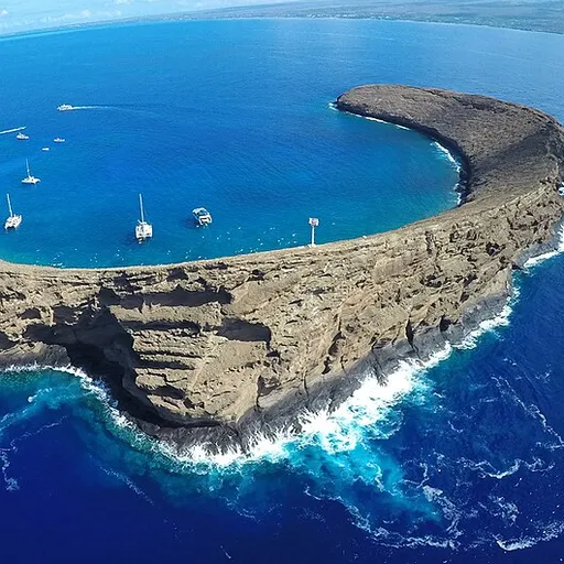
0This crescent-shaped, partially submerged volcanic crater off Maui's coast is a marine life conservation district, drawing snorkel and dive boats every morning for its startlingly clear water and reef fish. No one lives here and there's no beach to speak of—it's a pure day-trip b
Overall Appeal (0-10, higher better): 7/10Land Area (higher = more to explore): 0.03 sq miAnnual Visitors (higher = busier): 0.3 MBeach Quality (0-10, higher better): —Open to General Public: ✓Highest Elevation (higher = more terrain: 160 ftSignature Site: Crescent snorkel crater
added by Yourlist Editorialin 2 rankingsMolokini
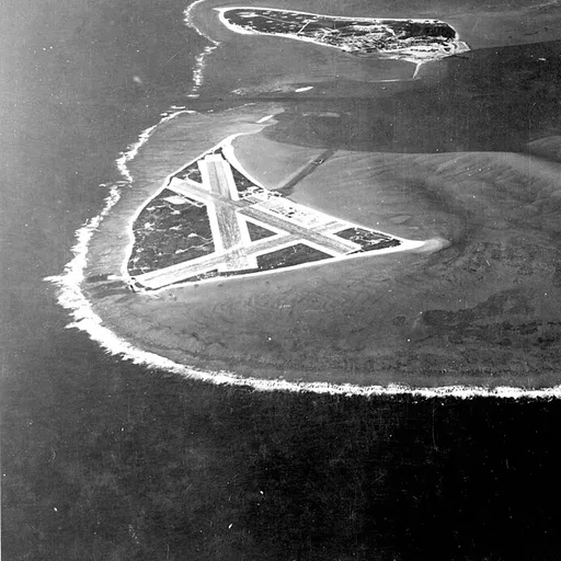
0The site of the pivotal 1942 naval battle that turned the tide of the Pacific War, Midway Atoll is now a National Wildlife Refuge home to nearly three million Laysan albatrosses, the largest colony on Earth. Public tourism has been suspended for years due to funding and logistics
Overall Appeal (0-10, higher better): 6.8/10Land Area (higher = more to explore): 2.4 sq miAnnual Visitors (higher = busier): —Beach Quality (0-10, higher better): 7.5/10Open to General Public: —Highest Elevation (higher = more terrain: 13 ftSignature Site: Battle of Midway site & albatross colony
added by Yourlist Editorialin 2 rankingsMidway Atoll
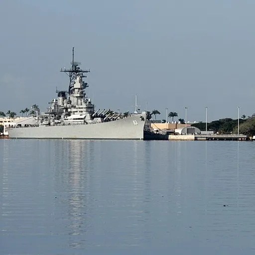
0Sitting in the middle of Pearl Harbor, Ford Island was ground zero for the December 7, 1941 attack and still hosts the USS Arizona and USS Missouri memorials that draw over a million visitors a year. It remains an active Navy installation, so entry is only permitted through offic
Overall Appeal (0-10, higher better): 6.5/10Land Area (higher = more to explore): 2.7 sq miAnnual Visitors (higher = busier): 1.5 MBeach Quality (0-10, higher better): —Open to General Public: —Highest Elevation (higher = more terrain: 40 ftSignature Site: USS Arizona Memorial access point
added by Yourlist EditorialFord Island
0Niihau
Privately owned by the Robinson family since 1864, Niihau has barred outside visitors for over a century to protect its roughly 100 Native Hawaiian residents and preserve the last community where Hawaiian is the primary daily language. The only way in is a pricey helicopter tour
Overall Appeal (0-10, higher better): 6/10Land Area (higher = more to explore): 70 sq miAnnual Visitors (higher = busier): —Beach Quality (0-10, higher better): —Open to General Public: —Highest Elevation (higher = more terrain: 1,281 ftSignature Site: The Forbidden Isle
added by Yourlist Editorialin 2 rankings
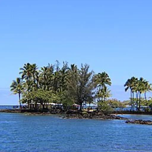
0Tucked in Hilo Bay, this tiny island moonlighted as the opening-credits paradise shot for Gilligan's Island in the 1960s, cementing pop-culture fame far beyond its size. Today it houses the University of Hawaii's Institute of Marine Biology and is closed to casual visitors, thoug
Overall Appeal (0-10, higher better): 5.5/10Land Area (higher = more to explore): 0.02 sq miAnnual Visitors (higher = busier): —Beach Quality (0-10, higher better): —Open to General Public: —Highest Elevation (higher = more terrain: 10 ftSignature Site: Hawai'i Institute of Marine Biology (Gilligan's Island)
added by Yourlist EditorialCoconut Island
0Rabbit Island (Manana Island)
Named for its rabbit-ear silhouette, this rocky islet off Oahu's Windward Coast is a protected seabird sanctuary closed to landing. Its jagged shape has become one of the most photographed backdrops from Makapu'u Beach and Sea Life Park. It's a 'look but don't touch' island that
Overall Appeal (0-10, higher better): 5/10Land Area (higher = more to explore): 0.03 sq miAnnual Visitors (higher = busier): 0 MBeach Quality (0-10, higher better): —Open to General Public: —Highest Elevation (higher = more terrain: 360 ftSignature Site: Seabird sanctuary silhouette
added by Yourlist Editorial
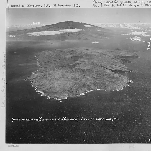
0Used as a U.S. Navy bombing range for nearly 50 years, Kahoolawe was returned to the state in 1994 after a Native Hawaiian protest movement and remains uninhabited and scarred by unexploded ordnance. Access today is limited to supervised cultural and restoration visits led by the
Overall Appeal (0-10, higher better): 4.5/10Land Area (higher = more to explore): 45 sq miAnnual Visitors (higher = busier): —Beach Quality (0-10, higher better): 3/10Open to General Public: —Highest Elevation (higher = more terrain: 1,477 ftSignature Site: Restored cultural reserve
added by Yourlist Editorialin 2 rankingsKahoolawe
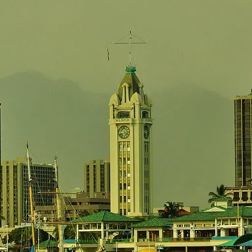
0A working-class, industrial fringe of Honolulu Harbor, Sand Island trades postcard beauty for practicality—home to a public park, a Coast Guard base, and cargo terminals rather than resorts. Locals use its state recreation area for weekend camping and fishing rather than tourists
Overall Appeal (0-10, higher better): 4/10Land Area (higher = more to explore): 1.3 sq miAnnual Visitors (higher = busier): 0.05 MBeach Quality (0-10, higher better): 4/10Open to General Public: ✓Highest Elevation (higher = more terrain: 10 ftSignature Site: Honolulu Harbor recreation area
added by Yourlist EditorialSand Island
0